
Connect Positioning service
Drone Surveying
Efficient UAV capture for orthophotos, site progress, surface information and large-area construction records.
← Back to all servicesWhat we provide
Practical support for live civil construction projects
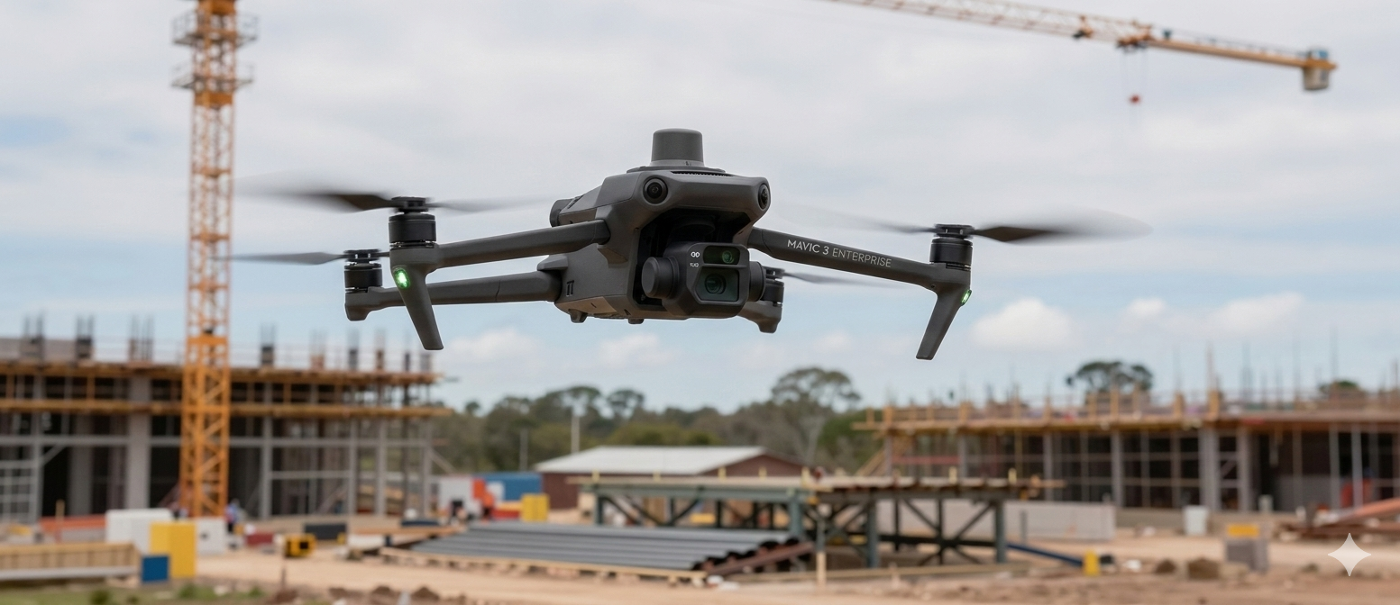
Our UAV capability allows large and active sites to be captured efficiently. Drone data can provide a clear visual record of construction progress while also supporting surface analysis and measurement.
Aerial project perspective
See UAV surveying in the context of a live site
This project flight demonstrates how aerial capture can communicate site scale and progress while complementing orthophotos, surface data and conventional survey information.
The outcome
Information your project team can use
Jaco Van Rensburg leads Connect Positioning's drone operations as Senior Surveyor and Drone Chief Pilot, combining UAV capture with practical surveying knowledge.
Discuss your project
Need drone surveying support?
Contact Kieran to discuss your project location, requirements and programme.