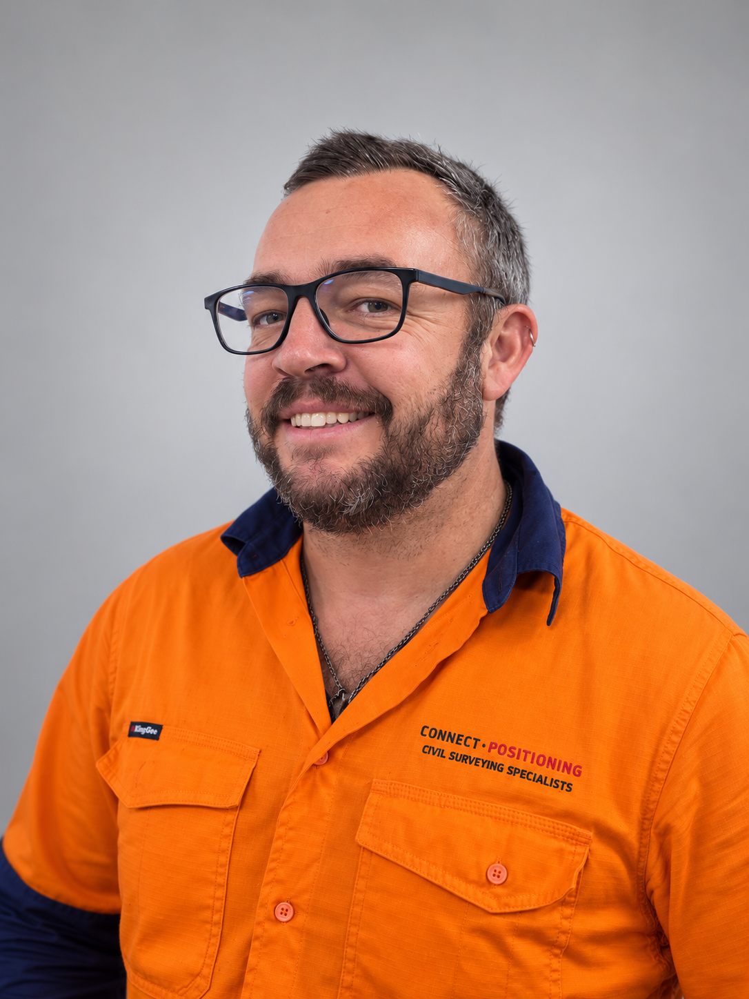
Kieran Garratt
Owner / Director
Kieran leads Connect Positioning with a focus on accuracy, reliability and strong client relationships.

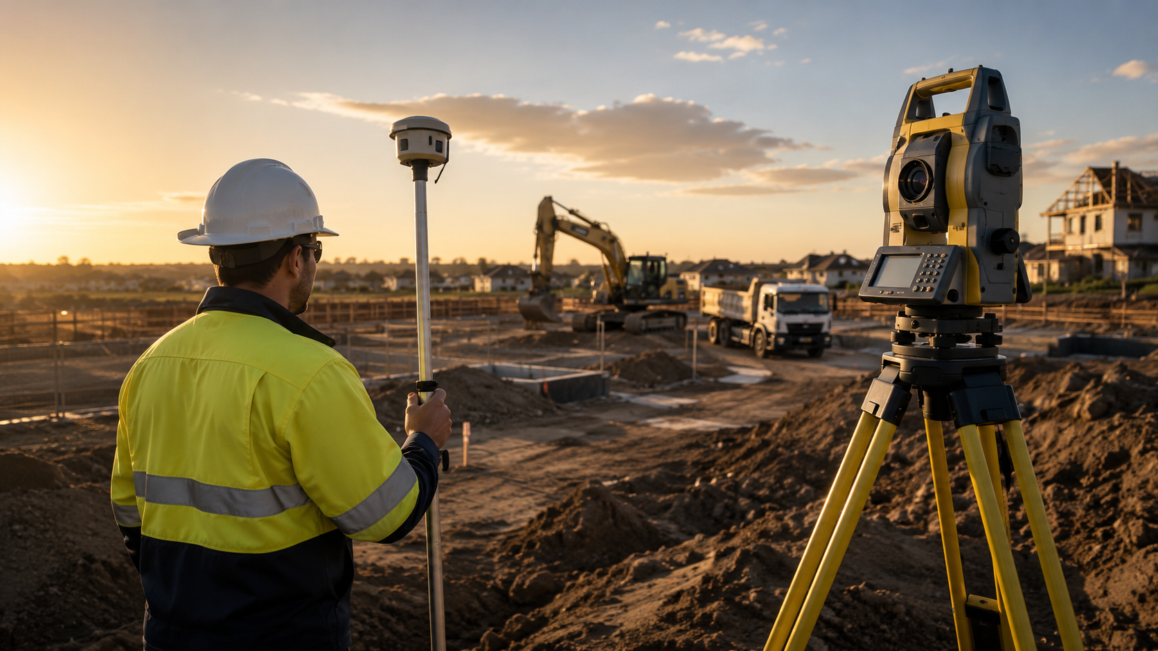
Delivering accurate survey data and intelligent solutions for every stage of your project.
Major subdivision projects
Supporting major subdivision and civil construction projects across South East Queensland with dependable survey, set-out, UAV and machine-control support.
About us
Connect Positioning provides professional civil survey solutions across South East Queensland. With modern technology and a commitment to accuracy, we deliver the data project teams need to build with confidence.
More about us →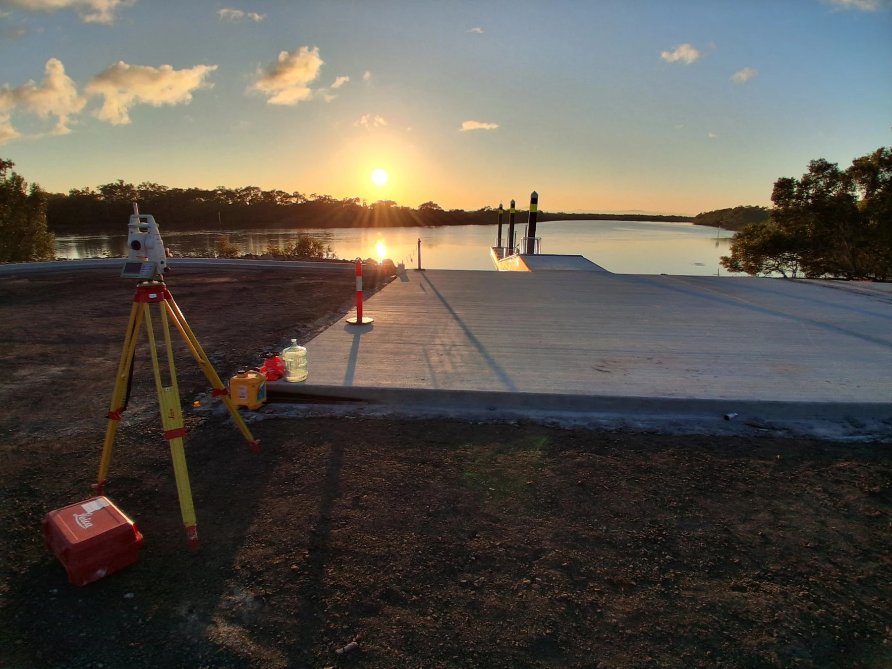
Real field work
Real project conditions demand practical survey support. This genuine field image shows survey equipment working directly alongside completed civil works — where accurate control, set-out and verification matter most.
Precision in action
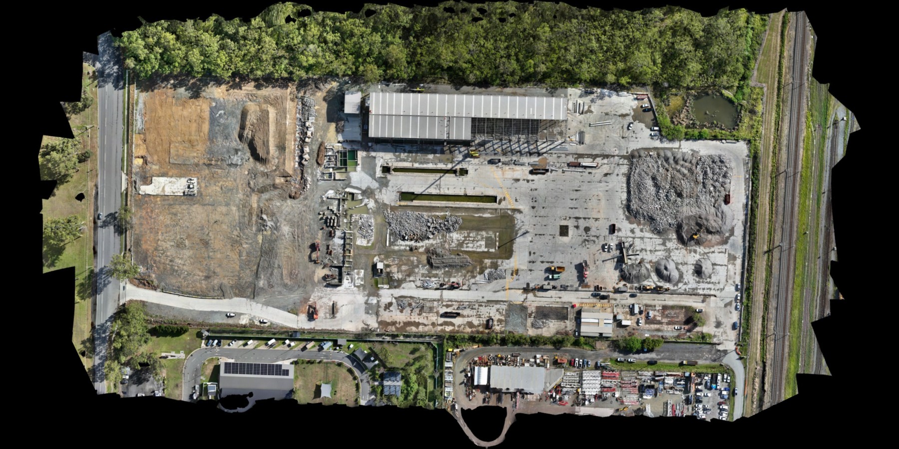
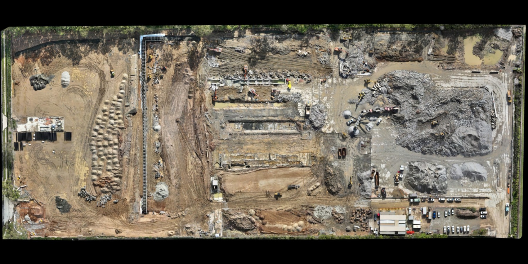
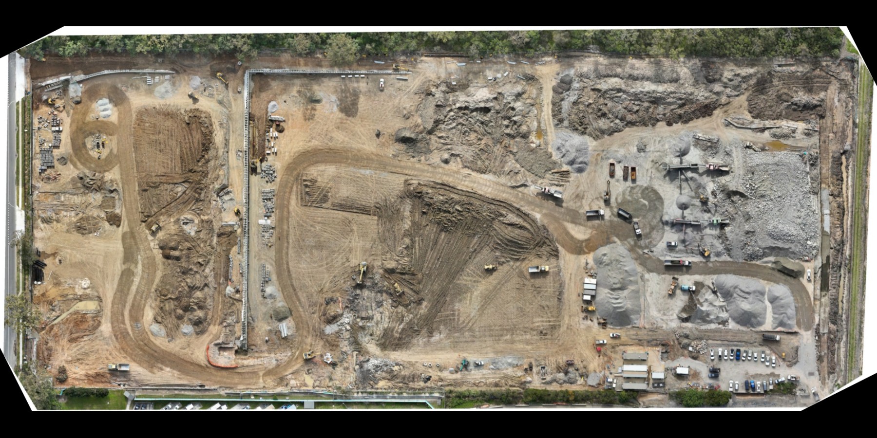
Use the timeline to move through the supplied orthophotos in their correct project sequence.
Before and after
Drag the handle to reveal the latest capture on the left over the earliest capture on the right. Both images share the same frame and scale.
Project in motion
Aerial footage gives project teams a clear view of site scale, progress and construction conditions.
Our services
Click any service to jump straight to the capability your project needs.
Accurate construction surveying for roads, subdivisions, infrastructure and general civil projects across South East Queensland.
Learn more →
Reviewing design data before construction to identify inconsistencies, coordination issues and costly errors before they become rework on site.
Learn more →
Direct machine-control model preparation and field support to improve efficiency, reduce rework and guide plant accurately.
Learn more →
UAV data capture, orthomosaics and aerial site reporting for fast, practical visualisation and measurement.
Learn more →
Laser scanning support for detailed spatial capture where higher-definition site data is required.
Learn more →
Reliable set-out for structures, civil works and project control, delivered by an experienced field team.
Learn more →Technology with purpose
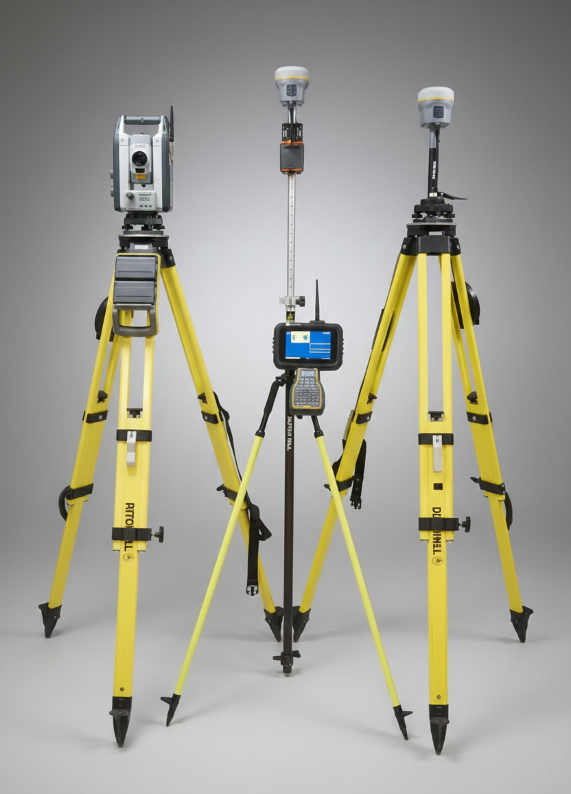
Connect Positioning owns and operates Trimble, Leica and DJI equipment, supported by machine-control modelling, UAV mapping and digital terrain workflows.
Meet the team
Owner / Director
Kieran leads Connect Positioning with a focus on accuracy, reliability and strong client relationships.
Senior Surveyor & Drone Chief Pilot
Jaco brings extensive field experience and leads UAV operations and complex civil survey projects.
Our surveyors
Surveyor
Surveyor
Surveyor
Surveyor
Start a conversation
Share a few details and we’ll help you find the right surveying support.
You can also call 0432 237 609 or email kieran@connectpositioning.com.au.